Steven R. Miles
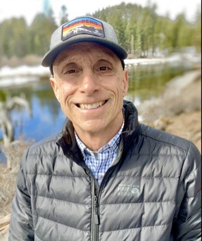
Steven R. Miles
Fall River (District 1)
District #1 is described as: North boundary is Spring River Road and its extension east and west. West boundary is the Lane County and the Deschutes County line. South boundary is the south line of Township 20 South, which is about 1.5 miles north of the intersection of State Rec Road and Highway 97. East boundary is approximately eight miles east of Highway 97.
Phone: 541-397-7086
Ron Cass
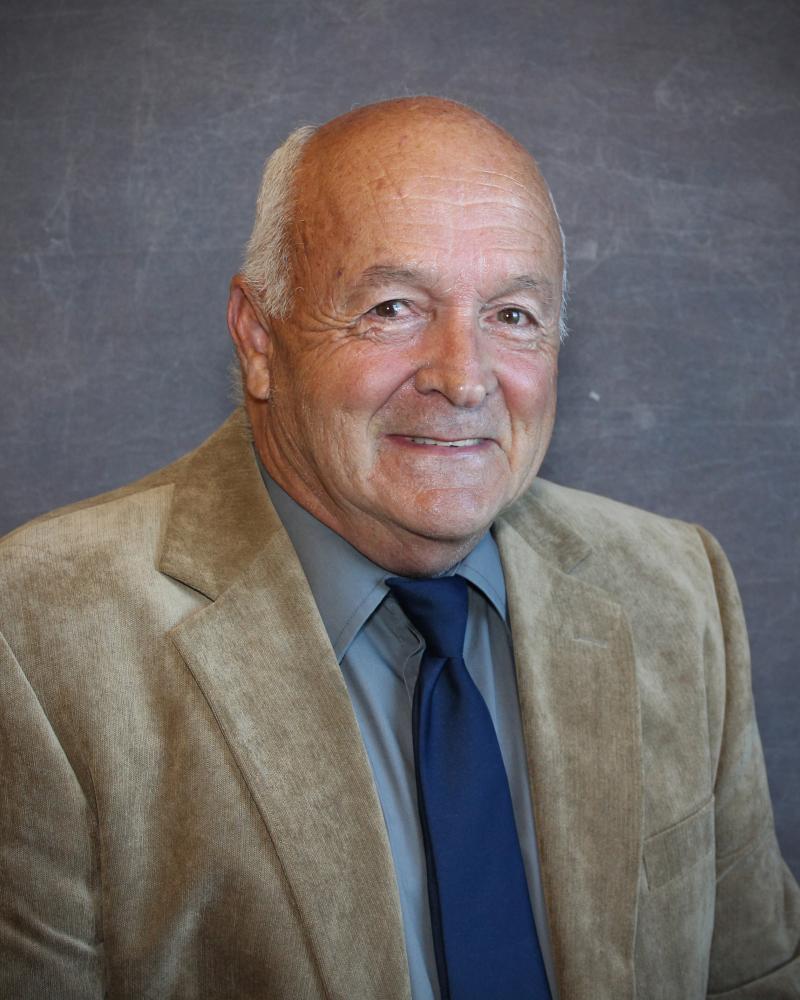
Ron Cass
South La Pine (District 2)
District #2 is described as: North boundary is Burgess Road and its extension east and west. West boundary is the Lane County and the Deschutes County line. South boundary is the Deschutes County and Klamath County line. East boundary is eighteen miles east of Finley Butte.
Phone:541-728-1200
Garry Journey
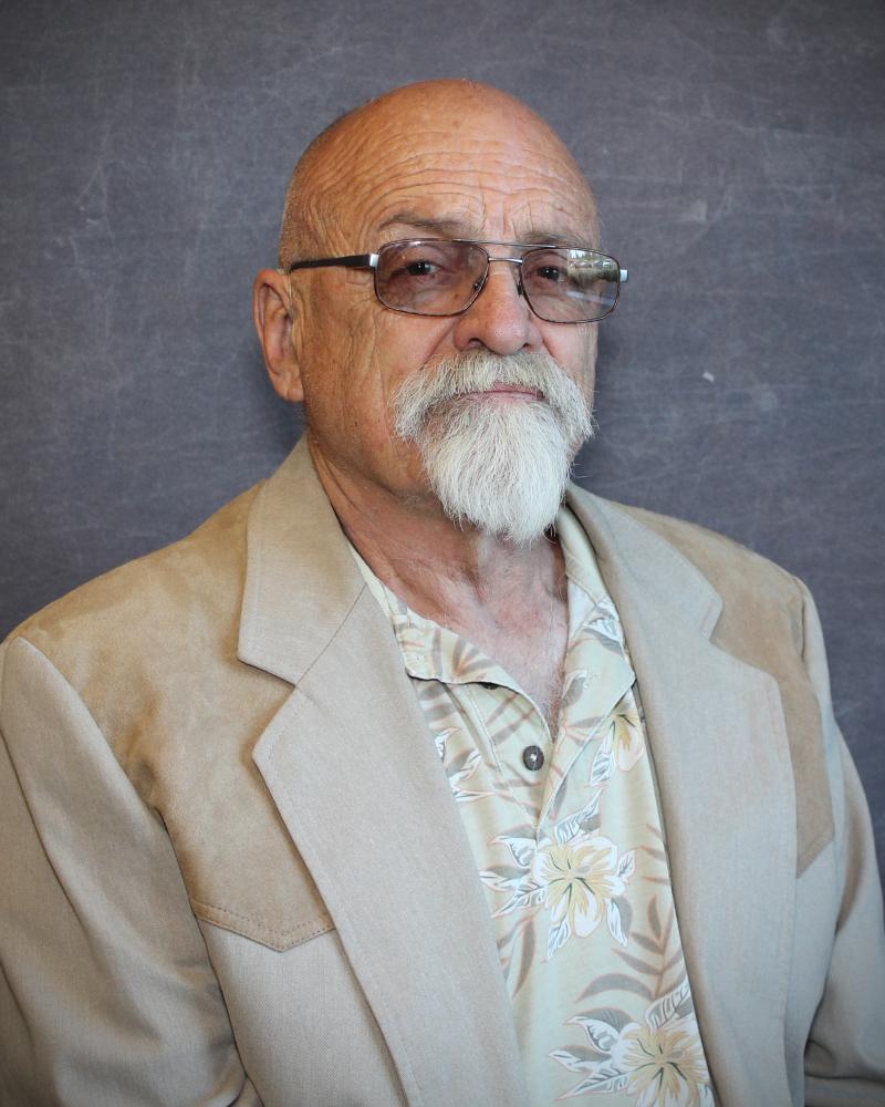
Garry Journey
Crescent (District 3)
District #3 is described as: North boundary is the Deschutes County and Klamath County line, including the ODOT Tunnel at Willamette Pass. West boundary is the Douglas County and the Klamath County line, and a portion of Lane County to include the ODOT Tunnel. South boundary is a line running East and West one mile North of Highway 58 Junction. East boundary begins 4.3 miles due East of Highway 97 on the Southern boundary. The boundary continues due north for 9 miles to a point just north and west of Crescent Butte, then 1.5 miles due west until intersecting Highway 97. Continuing northerly along Highway 97 about 2.6 miles then heading due north about 7.75 miles to the point of beginning.
Phone: 541-420-1730
Louis (Brad) Crement

Louis (Brad) Crement
Gilchrist (District #4)
District #4 is described as: Beginning at the intersection of the Klamath, Deschutes and Lake County lines, then heading due west along the North boundary of Klamath County line for about 16.7 miles. Then heading due south for about 7.75 miles until intersecting Highway 97. From that intersection heading in a southwesterly direction along Highway 97 about 2.6 miles. Then heading due east for about 1.5 miles to a point just north and west of Crescent Butte, then heading due south for 9 miles until reaching the Southern boundary. The South boundary is a line running east and west one mile North of Highway 58 Junction for 16 miles. Then heading in a northerly direction along the East boundary of the Klamath and Lake County line, back to the point of beginning.
Phone: 503-539-3638
Tanna King

Tanna King
Chemult (District #5)
District #5 is described as: North boundary is an East-West line one mile north of Highway 58 Junction. West boundary is the Douglas-Klamath County line. South boundary is a line four miles south of Hub City Chrome (formerly Thunderbeast Park) on Highway 97. East boundary is the Klamath County and Lake County line.
Phone: 541-480-8089
Steve S. Hess

Steve S. Hess
La Pine (District #6)
District #6 is described as: North boundary is the north line of Township 21 South, which is about 1.5 miles north of the intersection of State Rec Road and Highway 97. West boundary is the Lane County and Deschutes County line. South boundary is Burgess Road (and its extension east and west.) East boundary is six miles east of East Lake.
Phone: 541-408-3068
Alan Parks

Alan Parks
Fort Rock (District #7)
District #7 is described as: North boundary is the Deschutes County and Lake County line. West boundary is the Klamath County and Lake County line. East boundary extends due north from the centerline of the intersection of Oil Dry Road and the Christmas Valley Highway and due South down the centerline of the intersection of Oil Dry Road, extending to Picture Rock Pass. South boundary is the Lake County and Klamath County Lines, with a jog North to Picture Rock Pass.
Phone: 541-480-6294
Daniel Jansen

Daniel Jansen
Christmas Valley (District #8)
District #8 is described as: North boundary is approximately 24 miles north of the Christmas Valley Highway. West boundary extends due North from the centerline of the intersection of Oil Dry Road and the Christmas Valley Highway and due South down the centerline of the intersection of Oil Dry Road to Picture Rock Pass. Southern boundary is located approximately 10 miles south of the Christmas Valley Highway. East boundary extends to the eastern edge of Range 21.
Phone: 503-312-0814
Dick Luebke

Dick Luebke
Sunriver (District #9)
District #9 is described as: North boundary is the Cascade Lakes Highway. West boundary is the Lane County and Deschutes County line. East boundary is eight miles east of Highway 97. South boundary is Spring River Road (and its extension east and west.)
Phone: 541-508-9902
